My Role: Design and development
This is an passion project which is still in development. It’s a mobile AR app which visualizes the huge sheets of ice which covered the landscape in the ice ages. It’s intended for use at scenic overlooks amid the dramatic landscapes of the Pacific NW.
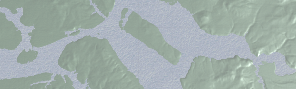
The app is build in Unity and uses Mapbox to load terrain data at the user’s location, which the user then orients to match the real-world landscape. Then a layer of ice is placed at a specified height, where the digital terrain masks it out, creating an overlay on the real world.
This app is a work in progress, but here’s a demonstration of its current state.
More info on Mapbox toolset can be found at mapbox.com.